CONS 127 has no pre-requisites and is open to everyone interested in the exploration of innovative Earth observation and other geospatial technologies and how they allow us to better understand the changing Earth.
Spring 2017 (Term 2) – Tuesday/Thursday 3:30-5:00pm
Forest Sciences Centre 1005
Instructor: Dr Nicholas Coops
Credit Hours 3 credits
Prerequisites: NONE
THIS COURSE MEETS THE “UBC Arts Science Requirement” for Arts students.
For more information, contact Forestry Undergraduate Student Services at forestry.undergrad@ubc.ca or 604.822.1834.
Whare are students saying about the course?
From the class of 2015:
” … is by far the most knowledgeable and interesting prof I’ve taken a class with in my first year. His slides are absolutely intriguing and the content is extremely comprehensive, concise and well put together. The visuals (Pictures, animations, videos) used in slides are amazing. “
” He was very engaged and was good at lecturing rather than reading the notes on slides (as some profs tend to do). I liked the way the course was laid out and he presented the matter very effectively.”
“He really made the course and inspired me to learn more about it. Coops is one of the most entertaining teachers in class and as you study for the tests you realize not only is he fun but you’ve actually learned a ton on the subject as well.”
“A stellar instructor with clear knowledge of and passion for the subject”
Course Description
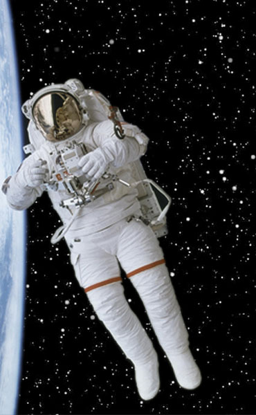
The adventures of Canadian astronaut, Chris Hadfield, have inspired a new generation of “space wonderers”; students interested and inspired by viewing the Earth from space, and what science and technological advances have come from humans moving into space.
This course examines how innovative earth observation and other geospatial technologies are allows us to better understand the changing Earth, including how humans are impacting the planet and interacting with the environment and each other. The course will cover a range of space based technologies such as the use of remote sensing, global positioning systems, location-based services, virtual globes (like GOOGLE EARTH), web-based mapping and big-data geospatial analysis.
A range of environmental change applications will be covered and the use of remote sensing to examine these changes demonstrated. Focus will be on Canadian environmental change. The course will introduce computer based skills and techniques for spatial thinking, image interpretation, and environmental decision-making as well as time for reflection on the images and how they can be used to inspire the general public.
Textbook/Readings
Recommended text:
Shellito, B., 2011. Introduction to Geospatial Technologies. W.H. Freeman & Co. 469pp.
Other Readings:
Dicum, Gregory. Window Seat: Reading the Landscape from the Air. San Francisco: Chronicle Books, 2004. Print.
Natynczyk, W., McQuarrie J., Hadfield, C., (2013) Earth, Spirit of Place: Featuring the Photographs of Chris Hadfield – Illustrated, Magic Light Publishing.
Mark Breakdown
Participation on Blog and Website: 20%
Lab exercises: 20%
MidTerm Exam 30%
Final Exam (in exam period) 30%.